Morphological computations Western Scheldt Estuary

Building 2D morphological model using FINEL

Administratie Waterwegen en Zeewezen (Belgium)

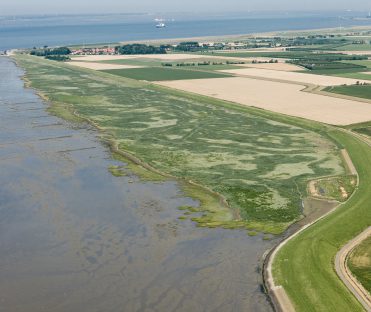
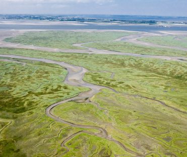
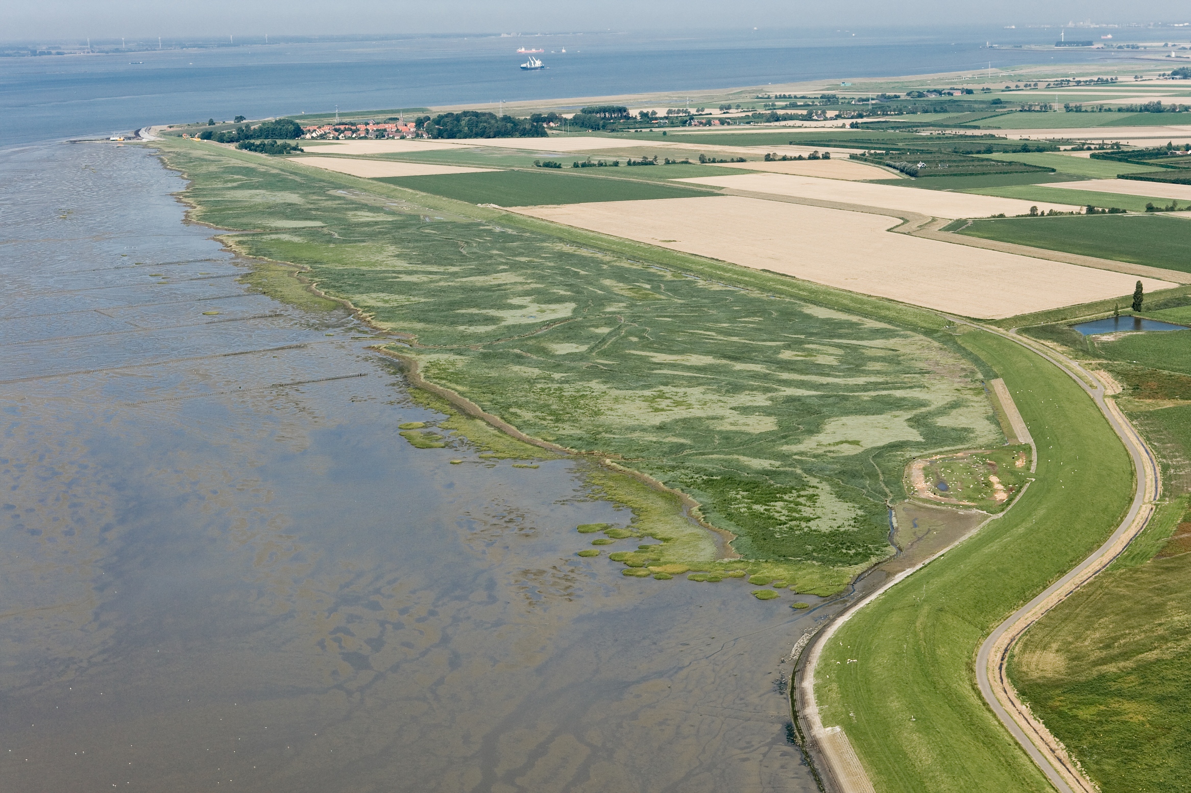
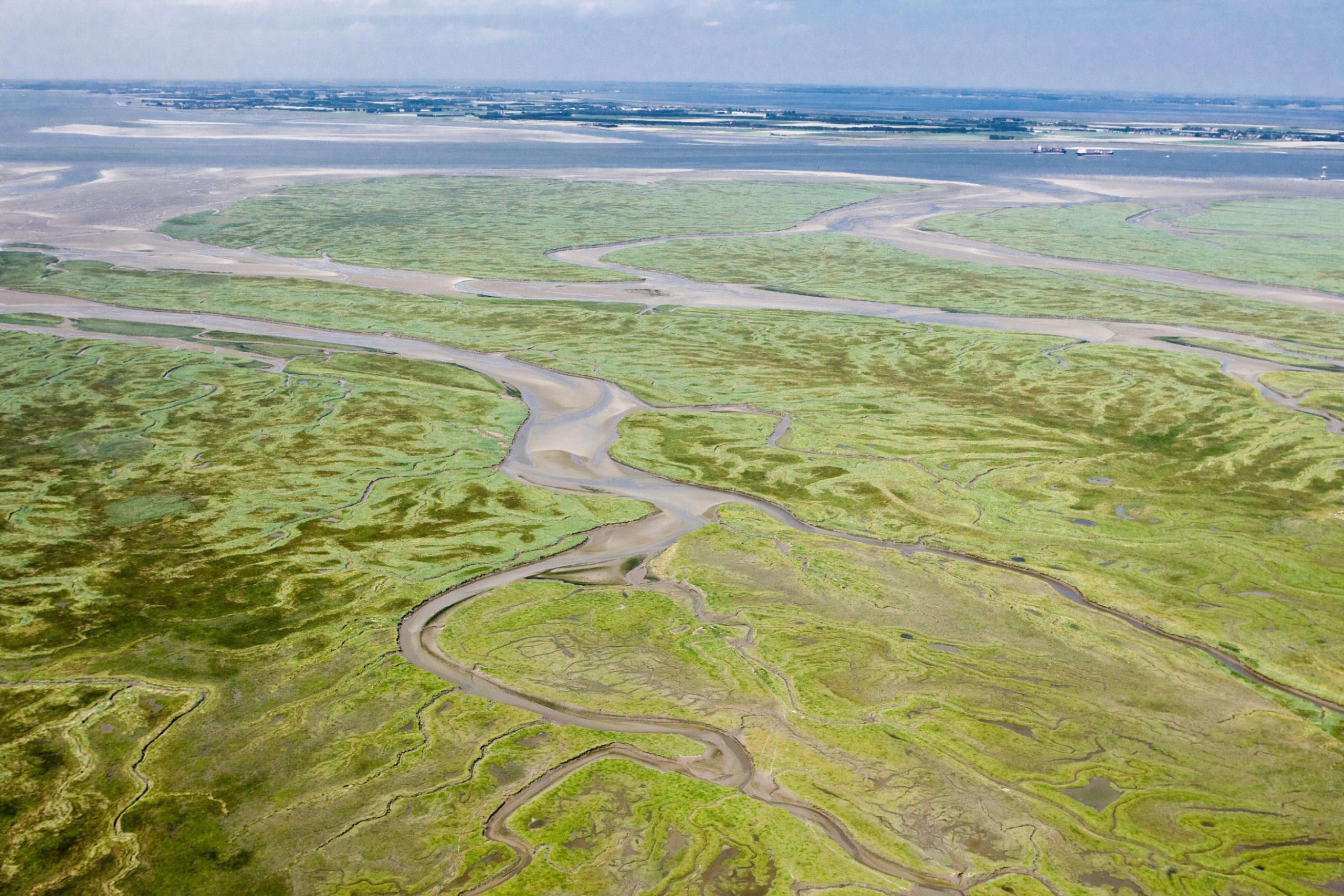
Western Scheldt, the Netherlands

2006
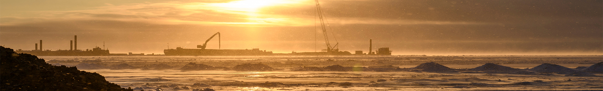
The Western Scheldt is an estuary in the south west part of the Netherlands and is the gateway to the port of Antwerp. A large amount of dredging is necessary to maintain the required depth of the shipping route to the port of Antwerp.
The morphological developments of this estuary are complex and are influenced by the dredging activities. Svašek was asked to build a 2D morphological model using FINEL. The goal was to see if this model could reproduce the morphological developments of the last decades in an accurate way.
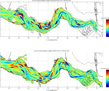
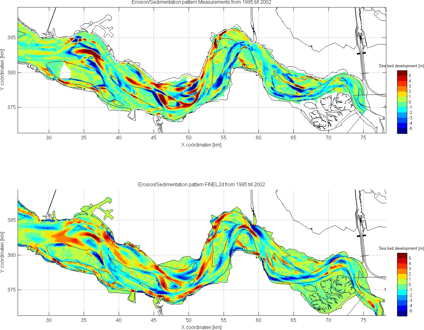
First the model was calibrated over the period 1995 till 2002. The validation of FINEL took place over the period 1965 till 2002. After the calibration and validation stage, four different dredging and sand mining scenarios were calculated over the period 1965 till 2002.
The figure below shows the measured sedimention/erosion pattern versus the pattern of FINEL over the period 1995 – 2002. The agreement is fairly accurate. It was concluded that FINEL can be used to calculate future developments and possible dredging and sand mining alternatives.
© Photos Beeldbank RWS / Joop van Houdt
Ype Attema
Lead expert morphodynamics
MORE INFORMATION ABOUT SVAŠEK OR OUR EXPERTISES?
Please contact us or make an appointment.
CONTACT US