
Wave conditions port of Harlingen
DOWNLOAD PROJECT SHEET
Constructing hydraulic database (waves) for the port of Harlingen

Wetterskip Fryslân

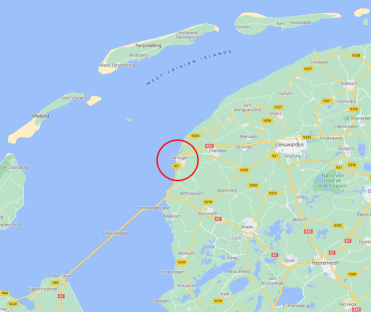
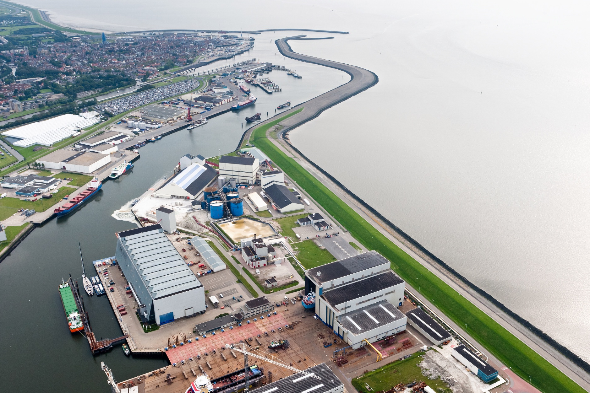
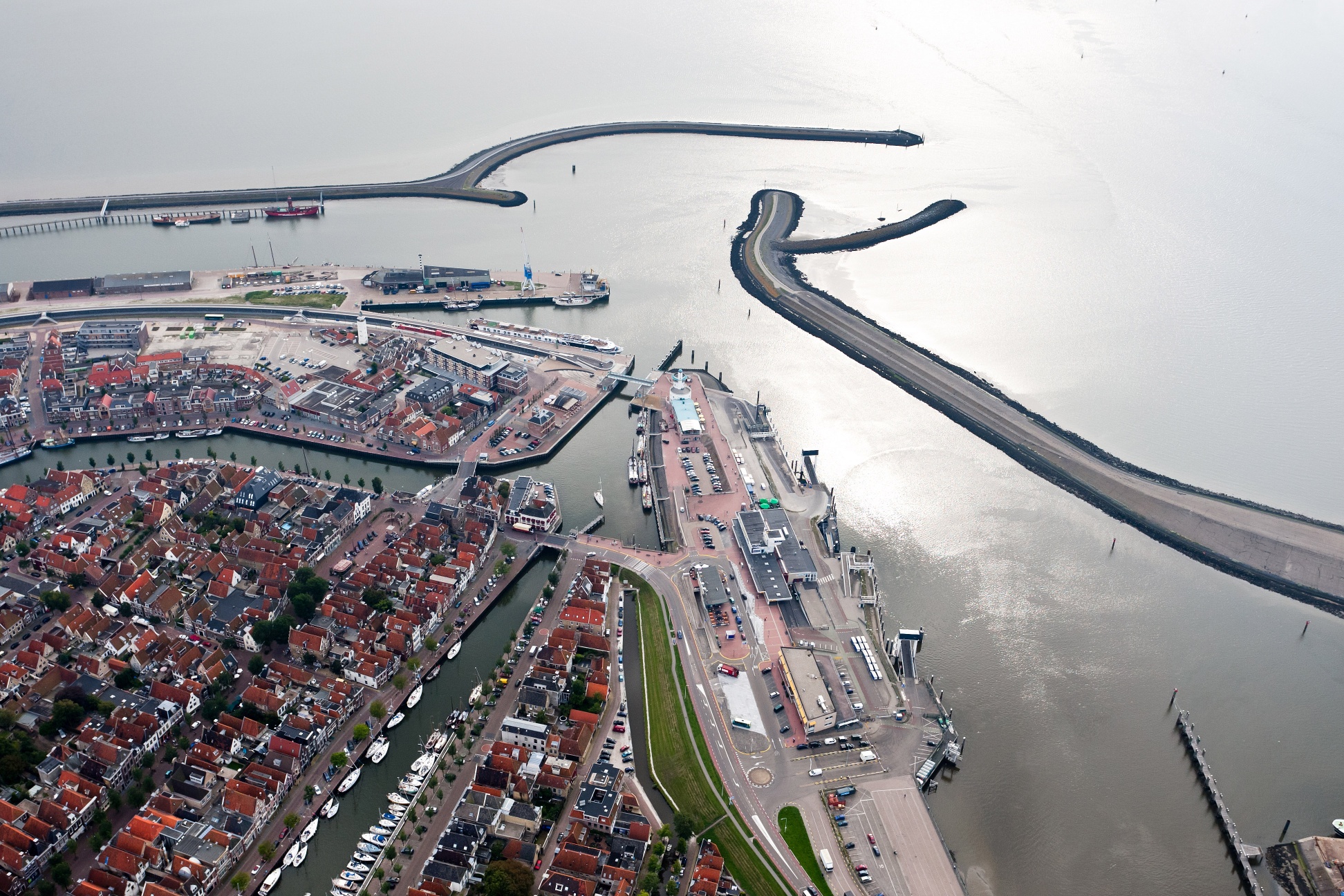
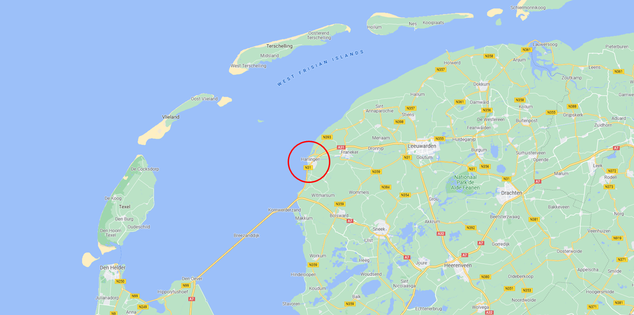
Harlingen

2021
Construct hydraulic database with ‘HB-Havens’
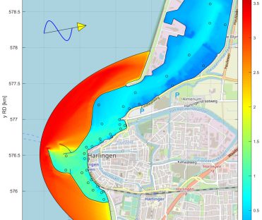
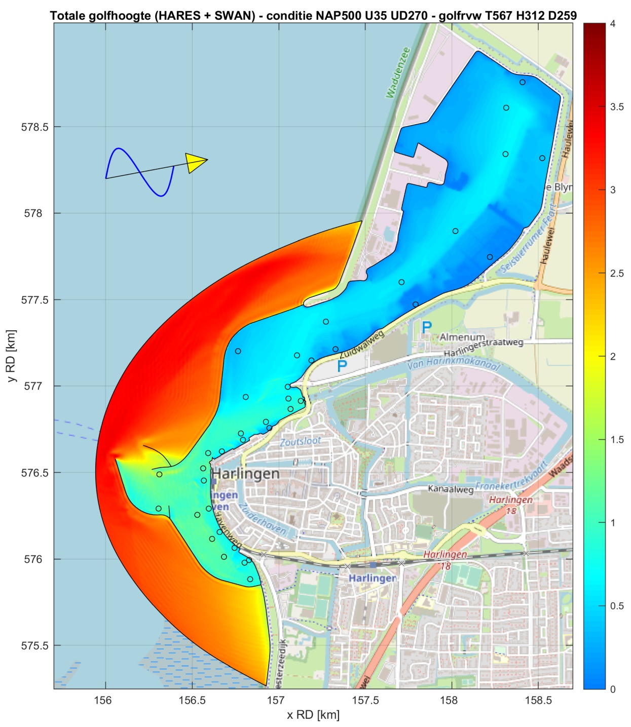
Rijkswaterstaat has determined the hydraulic boundary conditions (HR) for the Wadden Sea coast, i.e. the extreme wave conditions at various water levels. To determine reliable extreme wave conditions inside the port of Harlingen, Svašek Hydraulics has used the Rijkswaterstaat tool HB-Havens. For the wave penetration into the port the numerical wave model HARES is used, which is integrated in HB-Havens. With this approach realistic hydraulic boundary conditions inside the port are determined. These HR are used by the Water Board to assess the safety of the primary flood defences.
The wave conditions in the port are governed by wave penetration from the Wadden Sea, by local wind growth in the port itself and by wave reflection and transmission. With ‘HB-Havens’ the available HR database on the Wadden Sea, at the mouth of the port, is translated to various locations inside the port. For this purpose, the wave models HARES and SWAN are used.
The wave penetration in the port is modelled with the numerical wave model HARES. This model is developed by Svašek Hydraulics and integrated in the Rijkswaterstaat tool ‘HB-Havens’. The numerical wave model SWAN is used to determine the local wind wave growth inside the port.
With HARES, all relevant combinations of wave conditions and water levels in the HR location at the mouth of the port are transferred to various locations inside the port. Each wave condition is divided into a large number of frequencies and directions, which are considered as one within a HARES calculation. During each iteration step, the entire wave spectrum is constructed and the energy dissipation due to bottom friction and wave breaking is determined based on the total wave height.
With the numerical wave model SWAN, all combinations of wind and water level are modelled to determine the contribution of local wave growth inside the port. The results of HARES and SWAN are imported in ‘HB-Havens’ and subsequently a database is created for various locations inside the port. This database can be used directly the software packages Hydra-NL and Riskeer for the design and assessment of the primary flood defences in the port.
With increasing water levels, also the transmission over the breakwaters increases and port areas are increasingly submerged. For this reason, separate HARES calculation grids are made for each modelled water level, consisting of 3 to 4.5 million elements. The grid size depends on the water depth so that there are at least 16 elements per wavelength at each location.
The water depth along the HARES sea boundary varies a lot. Therefore, the available HR databases along the seaside of the harbour dams were used to calibrate the wave transmission over the port dams in HARES.
With the above applied methodology, the consequences of possible changes in the port infrastructure for the safety of the flood defences in the port can also be visualised.
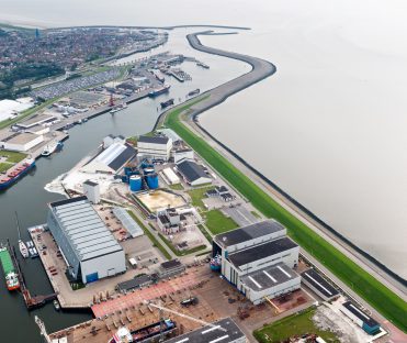
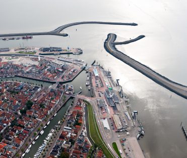
© Aerial photos Beeldbank RWS
Bernard Eikema
Project leader

MORE INFORMATION ABOUT SVAŠEK OR OUR EXPERTISE?
Please contact us or make an appointment.
CONTACT US