FINROD
Hier komt nog een Nederlandse vertaling.
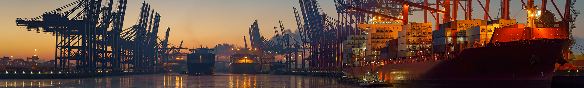
FINROD is a fast (parallelised) 2-dimensional route optimisation model which combines flow information, topographical/environmental information and “timing” aspects to predict optimal navigation tracks.
The optimal route for seagoing vessels is highly dependent on many factors: not only topography and earth curvature, but also real-time flow velocity, wind and wave influence, vessel speed and the “timing” of vessel departure or arrival. The FINROD model combines all these factors to find one unique time-optimal navigation route for each set of input parameters, using a tracking algorithm based on expanding “level sets”. FINROD has been made suitable for the curved earth surface (WGS84 ellipsoid). Dependent on the scale and geographic location of the problem, the user may apply the Mercator projection, the azimuthal stereographic projection or just a simple Cartesian reference frame.
FINROD has recently been applied for long-distance vessel tracks on the earth’s surface as well as smaller-scale route optimisation and optimal “timing” for swimmers across the English Channel.
T. Lolla, M. P. Ueckermann, K. Yigit, P. J. Haley Jr. and P. F. J. Lermusiaux. Path Planning in Time Dependent Flow Fields using Level Set Methods. IEEE International Conference on Robotics and Automation, Saint Paul, Minnesota, USA, 2012.
MEER WETEN OVER ONZE EXPERTISE OP HET GEBIED VAN FINROD?
Neem dan contact op met Bas Les. Lorem ipsum dolor sit amet, consectetur adipisicing elit, sed do eiusmod tempor incididunt ut labore et dolore magna aliqua. Ut enim ad minim veniam, quis nostrud.
Bas Les
Project ingenieur

GERELATEERDE PROJECTEN

MEER INFORMATIE OVER SVAŠEK OF ONZE EXPERTISES?
Neem dan contact met ons op of maak een afspraak.
NEEM CONTACT OP